 Photo: Owula kpakpo
Volta Region
Keta & the eastern coast
A narrow sandbar between lagoon and open sea.
Why go to Keta & the eastern coast
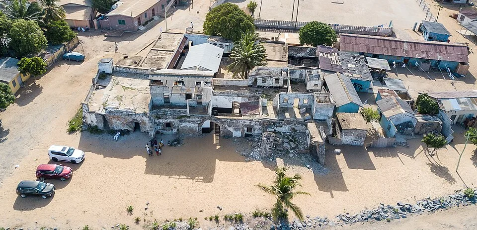
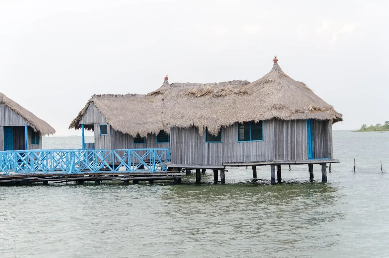
Keta sits on a thin strip of land between the Keta Lagoon and the Atlantic, with a Danish fort, a long history of erosion and resettlement, and one of Ghana's most distinctive landscapes. It suits travellers heading to or from Togo who want an unhurried, under-visited coast stop.
Getting there
Tro-tros and buses run from Accra's Tudu station along the coast toward Aflao and Keta in 3-4 hours; Keta is just before the Togo border. From Ho it is about 2 hours south by road. If you're crossing to Lome, the Aflao border is 30-40 minutes further east.
Getting around
Taxis and shared taxis move between Keta, Anloga, Woe and the beaches. They are cheap but infrequent in the evening. The lagoon side is best explored by boat with a local fisherman, arranged through your guesthouse.
Local tips
- Visit Fort Prinzenstein with a guide. The story of the fort, the lagoon and the erosion that has taken parts of the town is the reason to come.
- The lagoon is a working fishery, and going out with fishermen at dawn is more interesting than any organised tour.
- Erosion keeps reshaping this coastline, so check the current state of the beaches and access roads before planning around them.
- This is a strong birding area, especially on the lagoon. Bring binoculars if you have them.